Bergstation Rofan Seilbahn - Rofanspitze - Bergstation Rofan Seilbahn
Important Infomation
🔖
Route Length
7.1 km
🜏
Elevation Gain
485 hm
🞍
Highest Point
2259 hm
🔲
Elevation Loss
485 hm
Time Uphill
02:00 h
Time Downhill
01:30 h
🏀
Route Time Total
03:30 h
🞽
Difficulty
Medium
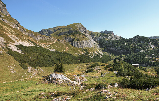
Starting Point: Maurach, top station of the Rofan cable car
End Point: Maurach, top station of the Rofan cable car
Elevation Profile


Description
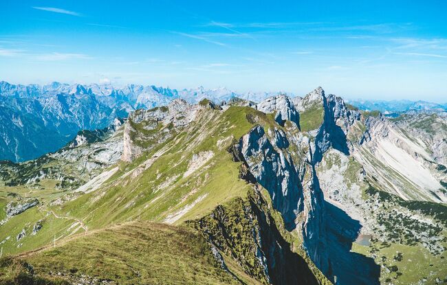
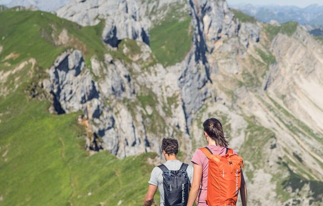
From the top station of the Rofan cable car, walk past the Mauritzalm mountain hut (signposted). The trail descends a little, then flattens and descends via two steep steps to the Grubastiege. Walk downhill past a commemorative plaque and to the Grubalacke. Continue along alpine meadows until you reach a junction (signpost) and turn right to the Grubascharte. The trail is almost level until you reach the junction before it leads to the ridge and to the grassy summit of the Rofanspitze which affords gorgeous views. The return is via the same route.