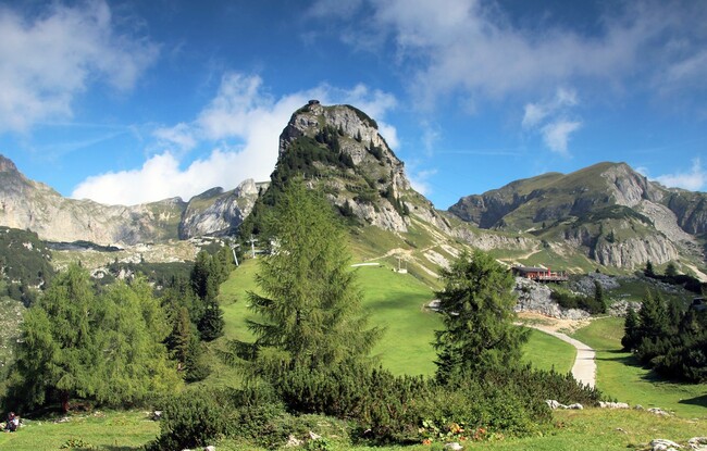
Bergstation Rofan Seilbahn - Gschöllkopf - Bergstation Rofan Seilbahn
Important Infomation
🔖
Route Length
2.6 km
🜏
Elevation Gain
230 hm
🞍
Highest Point
2039 hm
🔲
Elevation Loss
230 hm
Time Uphill
01:00 h
Time Downhill
01:00 h
🏀
Route Time Total
02:00 h
🞽
Difficulty
Easy
Starting Point: Maurach, top station Rofan cable car
End Point: Maurach, top station Rofan cable car
Elevation Profile


Description
From the top station of the Rofan cable car, walk past the Mauritzalm mountain hut to the saddle in the direction of Hochiss. Turn left and walk across grassy slopes between mountain pines until you reach the summit of the Gschöllkopf (2,039 metres) with the “Adlerhorst” (eagle’s nest - 360-degree viewing platform). The return is via the same route.