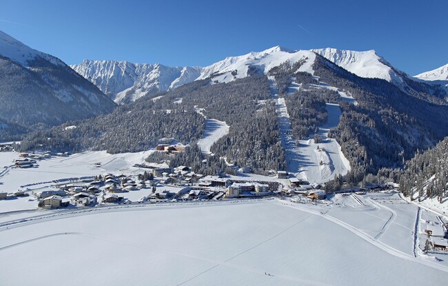
Achenkirch - Unterautal - Achenkirch
Important Infomation
🔖
Route Length
4 km
🜏
Elevation Gain
70 hm
🞍
Highest Point
1020 hm
🔲
Elevation Loss
70 hm
Time Uphill
01:15 h
Time Downhill
01:15 h
🏀
Route Time Total
02:30 h
🞽
Difficulty
Easy
Starting Point: Achenkirch, car park Hochalmlifte Christlum
End Point: Achenkirch, car park Hochalmlifte Christlum
Elevation Profile
Description
From the car park of the Christlum lifts, head north-west over the small bridge. Eventually, a wide path takes you to the Unterautal valley. The return is via the same route.
Notice: Walking time varies depending on snow conditions.