Achenkirch - Stubachalm - Achenkirch
Important Infomation
🔖
Route Length
13.3 km
🜏
Elevation Gain
1260 hm
🞍
Highest Point
2195 hm
🔲
Elevation Loss
1260 hm
Time Uphill
04:30 h
Time Downhill
04:00 h
🏀
Route Time Total
08:30 h
🞽
Difficulty
Hard
Starting Point: Steinberg am Rofan, car park Waldfrieden
End Point: Steinberg am Rofan, car park Waldfrieden
Elevation Profile


Description
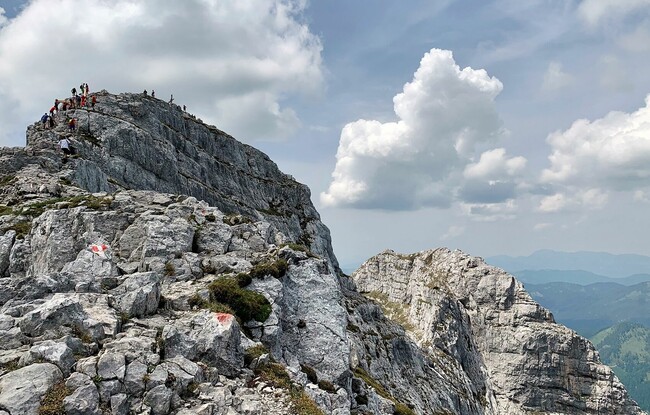
Go by car or regional bus in the direction of Steinberg for ca. 7 kilometres until you reach the car park “Waldfrieden”. From here, the trail leads in a northerly direction via the Stubachalm (1,371 metres, decrepit) to the Issalm mountain hut (not serviced). At the first junction, follow the signposts “Guffert”. This tour is recommended for experienced hikers only (some sections require securing yourself with a rope). The return is via the same route.