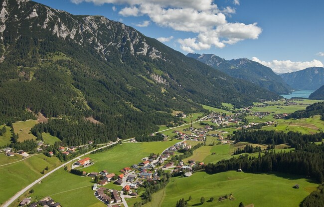
Achenkirch - Sonnberg-Panoramaweg - Achenkirch
Important Infomation
🔖
Route Length
6.8 km
🜏
Elevation Gain
180 hm
🞍
Highest Point
1015 hm
🔲
Elevation Loss
180 hm
Time Uphill
01:00 h
Time Downhill
01:00 h
🏀
Route Time Total
02:00 h
🞽
Difficulty
Easy
Starting Point: Achenkirch, car park Sonnberg (biomass cogeneration plant)
End Point: Achenkirch, car park Sonnberg (biomass cogeneration plant)
Elevation Profile
Description
From the car park Sonnberg at the biomass cogeneration plant, turn right and follow the forest road as it climbs gently to the Resort Achensee. From here, turn left and walk on the pavement next to the Achensee main road to the underpass. After ca. 200 meters, you arrive at the northern end of Lake Achensee. The return is via the same route.