Achenkirch - Jochalm (1.483 m) - Seewaldhütte (1.582 m) - Achenkirch
Important Infomation
🔖
Route Length
11.9 km
🜏
Elevation Gain
670 hm
🞍
Highest Point
1582 hm
🔲
Elevation Loss
670 hm
Time Uphill
02:15 h
Time Downhill
01:45 h
🏀
Route Time Total
04:00 h
🞽
Difficulty
Medium
Starting Point: Achenkirch, Parkplatz Adlerpark
End Point: Achenkirch, Parkplatz Adlerpark
Elevation Profile
Description
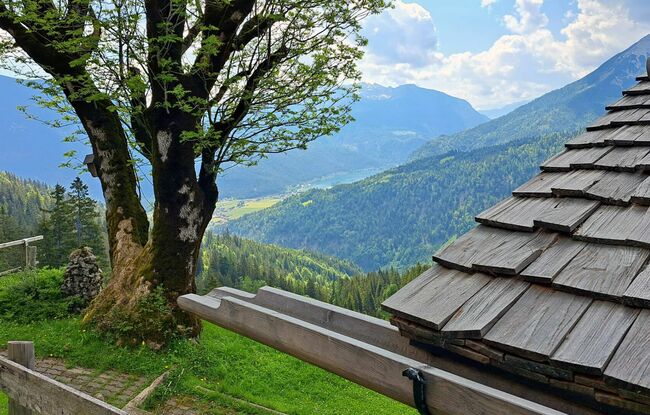
From the car park “Adlerpark”, set off in a southerly direction and follow the village road to the bus stop Fiechtersiedlung in Achenkirch. Walk uphill through the housing estate, then take the wide path to the Feichtenalm mountain hut (not serviced). From here, a trail with some steep sections leads up to the Jochalm mountain hut (not serviced) and finally to the Seewaldhütte mountain hut (drinks only served on Saturdays and Sundays). The return is via the same route.