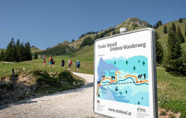
Achenkirch - Gröbner Hals - Steinölbrennerei im Bächental - Achenkirch
Important Infomation
🔖
Route Length
16.6 km
🜏
Elevation Gain
1000 hm
🞍
Highest Point
1654 hm
🔲
Elevation Loss
1000 hm
Time Uphill
03:15 h
Time Downhill
03:15 h
🏀
Route Time Total
06:30 h
🞽
Difficulty
Medium
Starting Point: Achenkirch, car park Christlum lifts
End Point: Achenkirch, car park Christlum lifts
Elevation Profile


Description
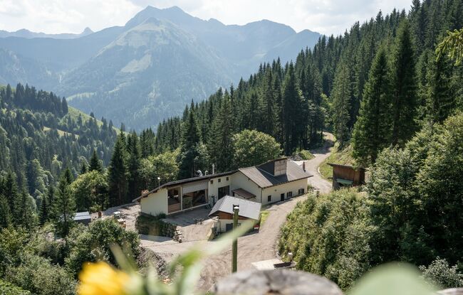
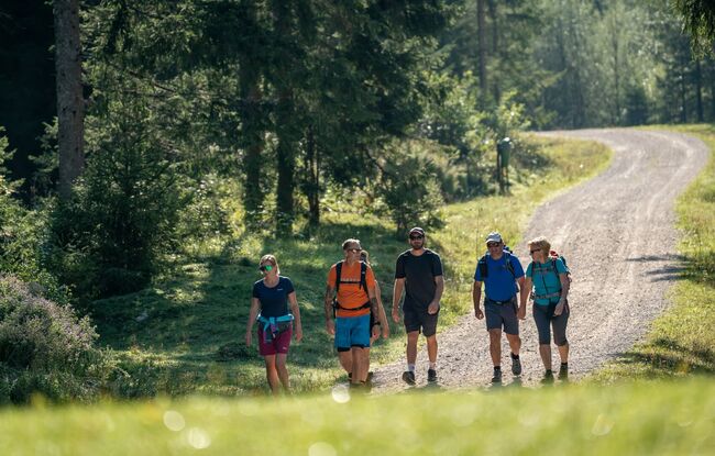
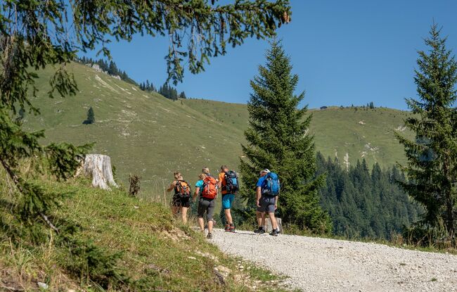
From the car park of the Christlum lifts, walk through the Unterautal valley to the Gröben Alm mountain hut (not serviced, time ca. 2 hours) and continue to the Gröbner Hals. From here, a steep trail descends to the Tiroler Steinöl® (shale oil) surface mining and production facility. The return is via the same route.