Achenkirch - entrance to Unterautal - Achenkirch
Important Infomation
🔖
Route Length
4.3 km
🜏
Elevation Gain
40 hm
🞍
Highest Point
950 hm
🔲
Elevation Loss
40 hm
Time Uphill
00:30 h
Time Downhill
00:30 h
🏀
Route Time Total
01:00 h
🞽
Difficulty
Easy
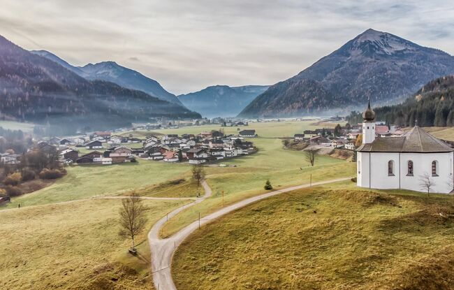
Starting Point: Achenkirch, parish church
End Point: Achenkirch, parish church
Elevation Profile
Description
From the Achenkirch parish church, walk left past the Annakircherl chapel and follow the sign “Wanderweg zum See” along the upper road of the Fiechtersiedlung housing estate. Descend to the left and after ca. 40 meters you arrive at the Unterautal valley. The return is via the same route.