496 Schmalzklausen Runde
Important Infomation
🔖
Route Length
16.9 km
🜏
Elevation Gain
360 hm
🞍
Highest Point
1231 hm
🔲
Elevation Loss
360 hm
🞽
Difficulty
Medium
Starting Point: road junction near the Gasthaus Waldhäusl
End Point: road junction near the Gasthaus Waldhäusl
Route Type: Roundtrip
Elevation Profile
Description
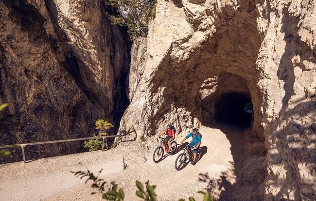
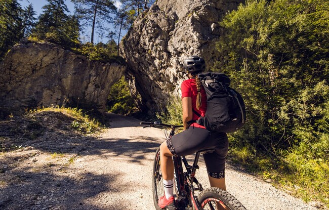
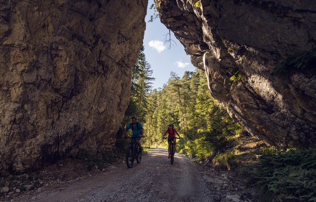
From the starting point, follow the asphalt road down to the stream Steinberger Ache. Turn right and climb the forest road alongside the stream to the Schmalzklausenalm (not serviced). Return to Steinberg am Rofan via the Satteltal and Schönjochtal.