484 Riederbergweg
Important Infomation
🔖
Route Length
4.7 km
🜏
Elevation Gain
430 hm
🞍
Highest Point
1350 hm
🔲
Elevation Loss
430 hm
🞽
Difficulty
Medium
Starting Point: Achenkirch, car park of the Christlum lifts
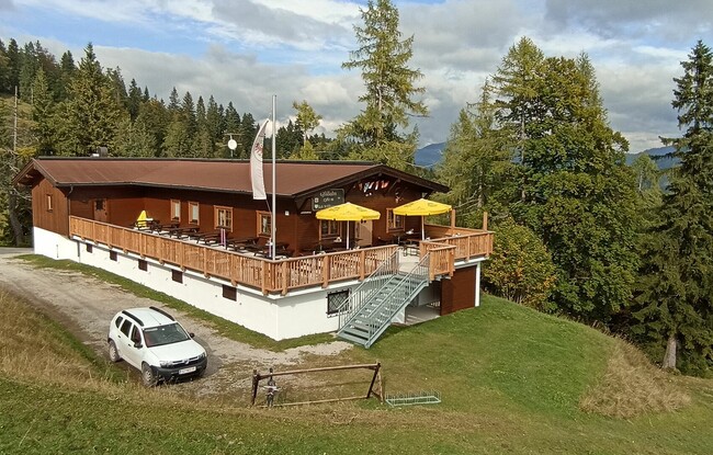
End Point: Achenkirch, Gföllalm
Elevation Profile
Description
From the starting point, the route initially leads on an asphalt road towards the hotel “Das Kronthaler”. The route then runs along the forest road Riederberg, past the reservoir and the Christlum Alm (not serviced), to the Riederbergstüberl (not serviced). From there a forest road climbs gently to the Gföllalm (serviced, 1,350 metres). To get to the Moosenalm (not serviced), turn right about 700 metres before the Gföllalm and after another two kilometres and 200 metres in altitude you reach the Moosenalm.