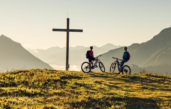
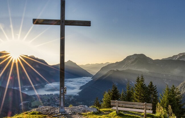
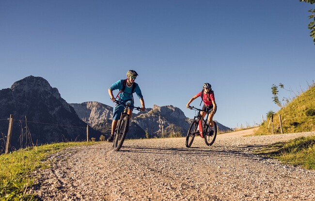
435 Feilkopf
Important Infomation
🔖
Route Length
8.3 km
🜏
Elevation Gain
580 hm
🞍
Highest Point
1562 hm
🞽
Difficulty
Medium
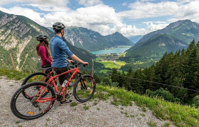
Starting Point: Pertisau, car park at the entrance to the Karwendel valleys
End Point: Feilkopf
Elevation Profile
Description
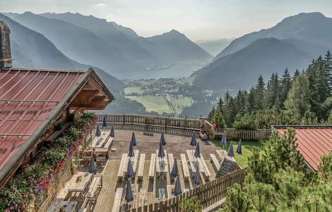
The route leads from the entrance of the Karwendel valleys via the asphalt toll road to the Gerntal. Cycle past the junction to the Pletzachalm to the next junction. Turn left to the Feilalm (serviced). From there, a wide forest road climbs to the Feilkopf. Just a little before the Feilkopf, a forest road on the left leads to the Gütenbergalm (not serviced). From there, the route leads back to the junction and to the summit (1,562 metres).