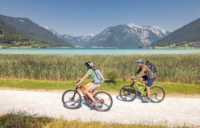
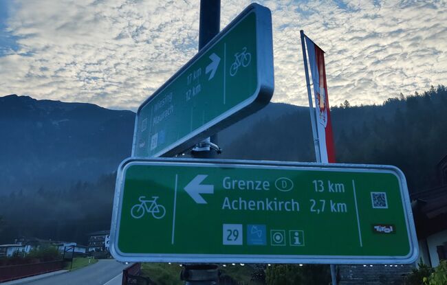
29 Achensee Cycle Path
Important Infomation
🔖
Route Length
33 km
🜏
Elevation Gain
290 hm
🞍
Highest Point
1004 hm
🔲
Elevation Loss
600 hm
🞽
Difficulty
Medium
Starting Point: district Achenwald, German-Austrian border
End Point: Wiesing/Jenbach
Elevation Profile
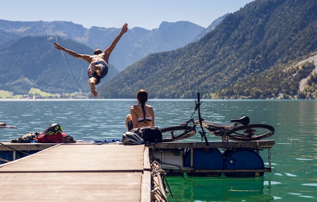
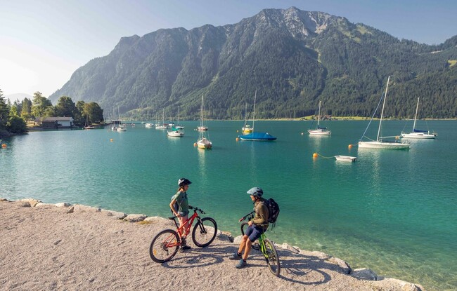
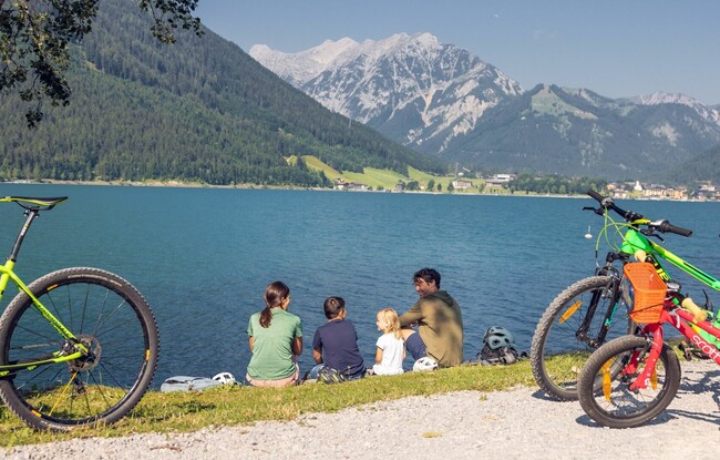
Description
The Achensee Cycle Path is part of the long-distance cycle path münchen venezia. The route starts in the district Achenwald near the German-Austrian border, climbing and descending to the village centre of Achenkirch and the northern lakeshore. The section alongside the lake to Maurach and Eben is flat, and from there, the path descends to Wiesing. Signposts point to the Inn Cycle Path (Innradweg).