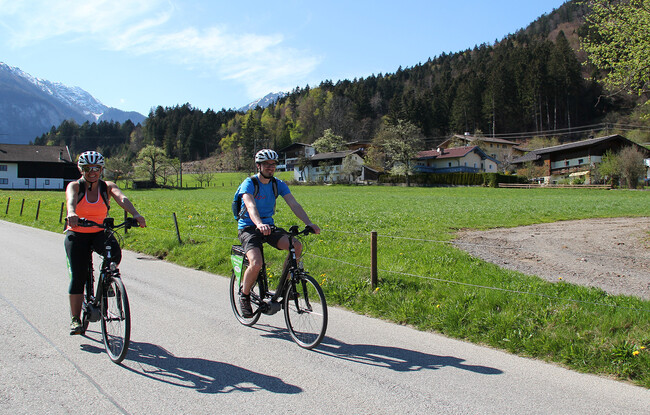
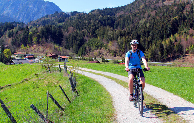
13 Zillertal Cycle Path
Important Infomation
🔖
Route Length
36.4 km
🜏
Elevation Gain
120 hm
🞍
Highest Point
630 hm
🞽
Difficulty
Easy
Starting Point: Information office Wiesing
End Point: Zillertal, Mayrhofen centre
Elevation Profile
Description
This 36.4 km family-friendly cycle route runs from Wiesing to Mayrhofen and explores the landscape along the Ziller stream. The route is well-surfaced and mostly flat, which makes it ideal for leisure cyclists and families. Along the way, there are plenty of opportunities for refreshments and breaks: Playgrounds, rest stops, public swimming pools and theme parks are within easy reach of the cycle path. Bike rides can be combined with the Zillertal Railway. Trains run between Jenbach and Mayrhofen and carry bicycles. The Zillertal Cycle Path connects with the Inn Cycle Path.