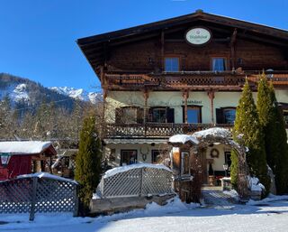
Steinberg - Weißbachl Alm - Schneidalm - Issalm - Breitlahneralm - Guffertstein - Luxeggalm - Steinberg
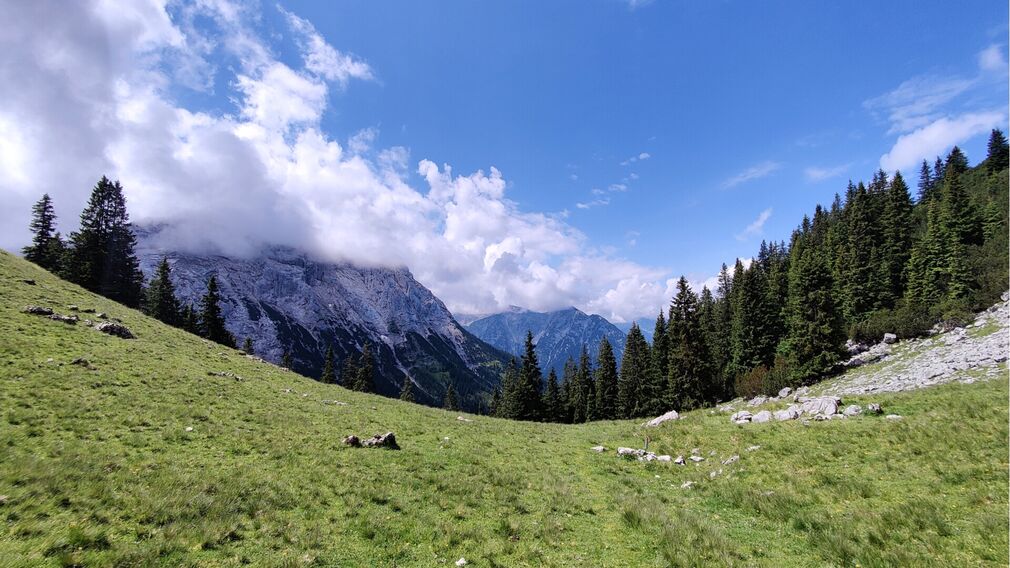
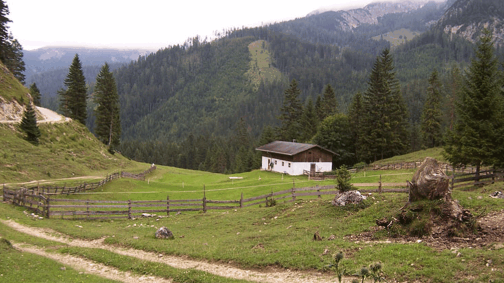

From the car park Waldfrieden, turn left and follow the federal road in the direction of Achenkirch. After ca. 500 metres, turn right and walk along the Weißenbach. Follow the yellow signpost to the Schneidalm (not serviced). From there, turn right towards Schneidjoch. Follow the trail on the right as it descends to the Issalmen (1,413 metres, not serviced). The section to Issalm and the long traverse towards Breitlahneralm are among the more challenging parts of the hike.
From Breitlahneralm (not serviced) the trail climbs again. At the place known as "Tafelohr", turn right and continue to Guffertstein (1,963 metres). The descent leads slightly left in a southerly direction to the Luxeggalm (decrepit). Compared with the earlier sections, the descent is less demanding. The trail then continues eastwards and follows the Bärenwaldweg back to the starting point in Steinberg.
escends in an easterly direction and takes you to the Bärenwaldweg and back to Steinberg.
Infrastructure on site