Steinberg - Stubachalm - Guffert - Steinberg
Important Infomation
🔖
Route Length
13.3 km
🜏
Elevation Gain
1260 hm
🞍
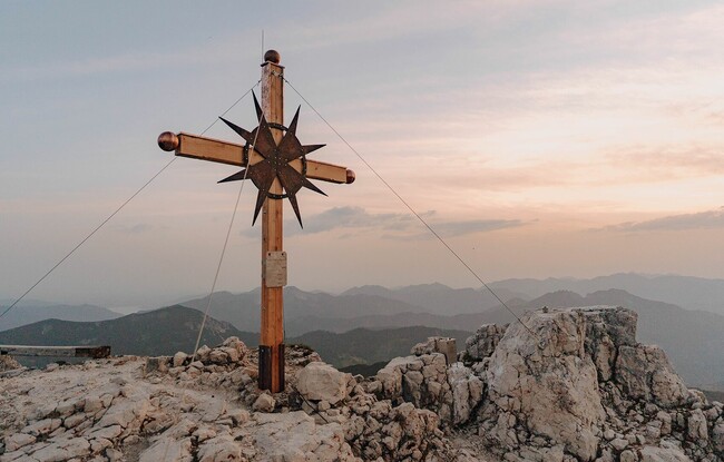
Highest Point
2195 hm
🔲
Elevation Loss
1260 hm
Time Uphill
04:30 h
Time Downhill
04:00 h
🏀
Route Time Total
08:30 h
🞽
Difficulty
Hard
Starting Point: Steinberg am Rofan, car park Waldfrieden
End Point: Steinberg am Rofan, car park Waldfrieden
Elevation Profile

Description
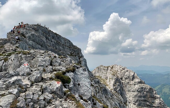
From the car park Waldfrieden, follow the trail in a northerly direction to the Issalm (not serviced) via the Stubachalm (decrepit). At the first junction, follow the signpost “Guffert”. This tour is only recommended for experiences hikers (some sections are secured with ropes). The return is via the same route.