Eagle Walk Tirol
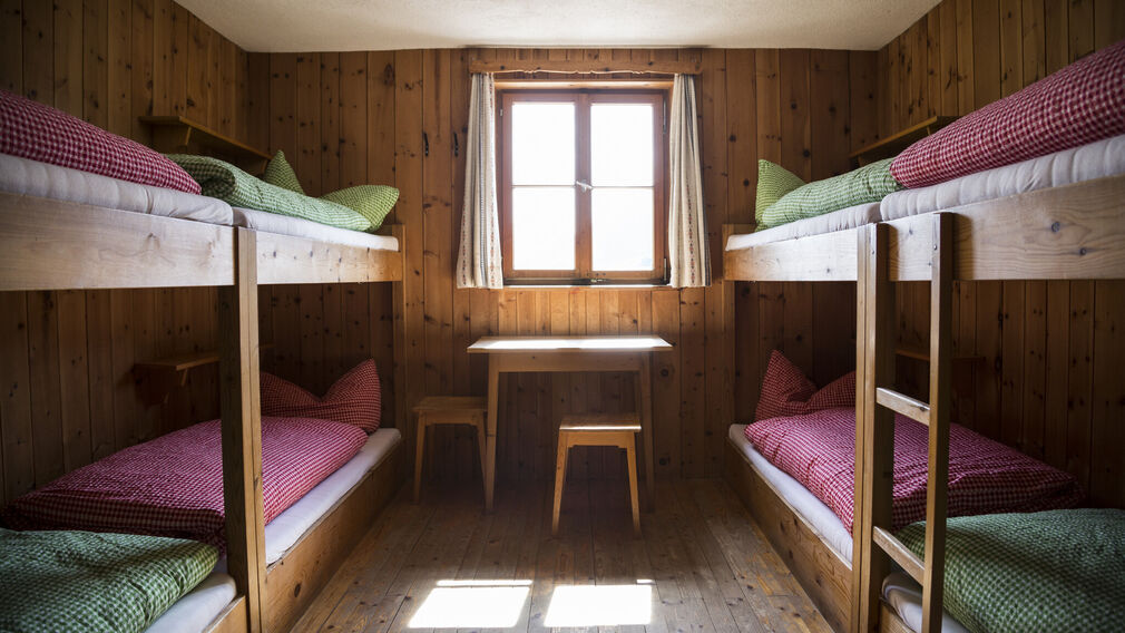
Lechtaler Alpen-Zams, Württemberger Haus, von Hanauerhütte bis Württemberger Haus, Adlerweg, Etappe 20_Tirol Werbung_Gigler Dominik_Zams (2).JPG © Gigler Dominik
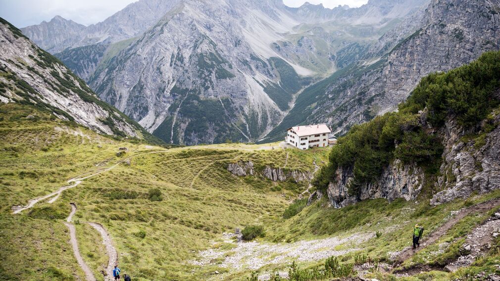
Lechtaler Alpen-Zams, Steinseehütte, von Hanauerhütte bis Württemberger Haus, Adlerweg, Etappe 20_Tirol Werbung_Gigler Dominik_Zams (1).jpg © Gigler Dominik
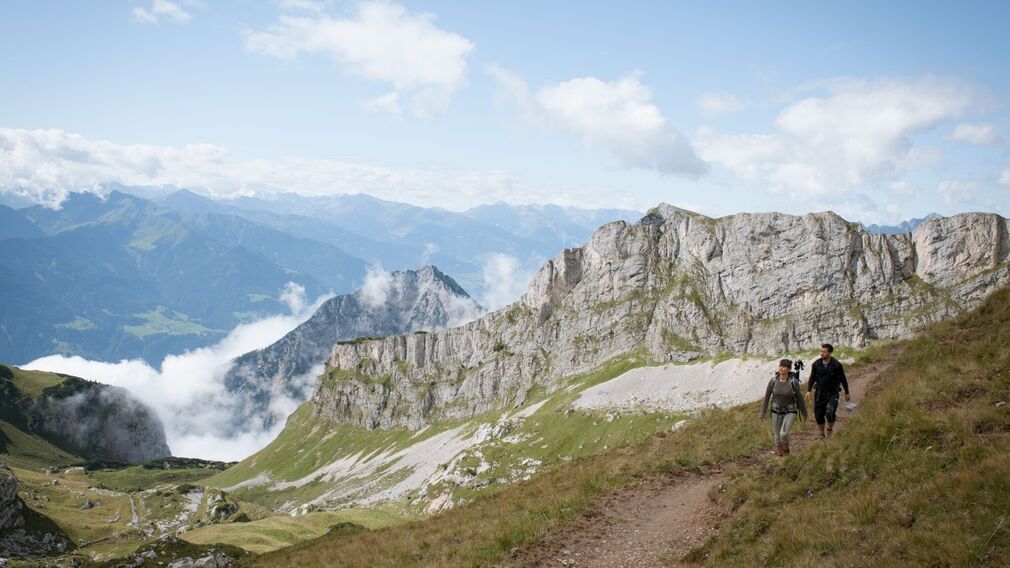
Brandenberger Alpen, Weg von Rosskopf zur Rofanspitze, Adlerweg Etappe 07_Tirol Werbung_Schwarz Jens_Maurach am Achensee.jpg © Schwarz Jens
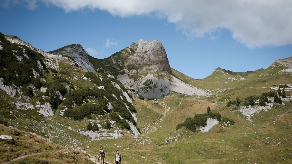
Brandenberger Alpen, Rofan, Maurach, von Erfurter Huette zum Rosskopf, Adlerweg Etappe 07_Tirol Werbung_Schwarz Jens_Maurach am Achensee (3).jpg © Schwarz Jens

Lechtaler Alpen-Zams, Württemberger Haus, von Hanauerhütte bis Württemberger Haus, Adlerweg, Etappe 20_Tirol Werbung_Gigler Dominik_Zams (1).jpg © Gigler Dominik
Lechtaler Alpen-Zams, Württemberger Haus, von Hanauerhütte bis Württemberger Haus, Adlerweg, Etappe 20_Tirol Werbung_Gigler Dominik_Zams (2).JPG © Gigler Dominik
Lechtaler Alpen-Zams, Steinseehütte, von Hanauerhütte bis Württemberger Haus, Adlerweg, Etappe 20_Tirol Werbung_Gigler Dominik_Zams (1).jpg © Gigler Dominik
"This hike underlines the fascinating contrast between alpine wilderness and city life, particularly on the Goetheweg Trail overlooking Innsbruck.", says Mike Rutter, mountain guide with the Austrian Alpine Club.
Difficulty
Hard
Route Length
426 km
Elevation Gain
30.000 hm