Rether Kopf (1,924m)
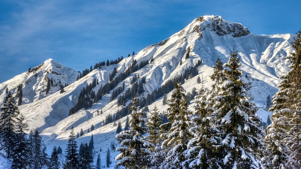
fresh snow on the Rether Kopf © Achensee Tourismus
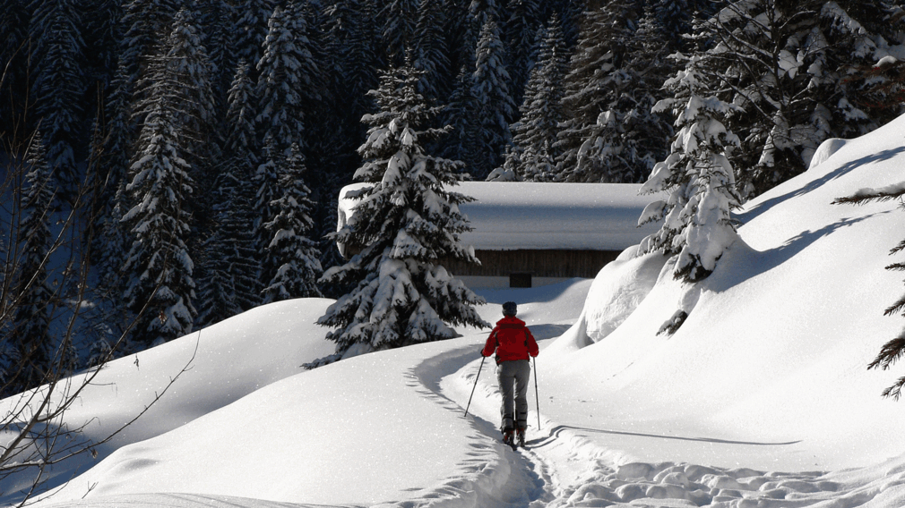
ascent to the Retherkopf, past the Hochstegenalm in Achenkirch. © Achensee Tourismus
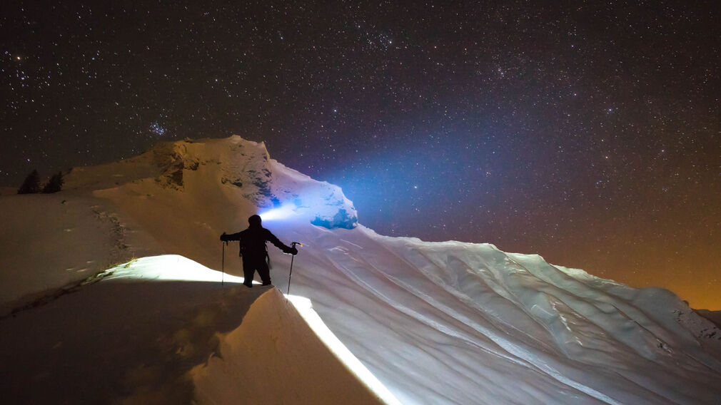
night ascent to the Rether Kopf in Achenkirch in Achenkirch © Achensee Tourismus
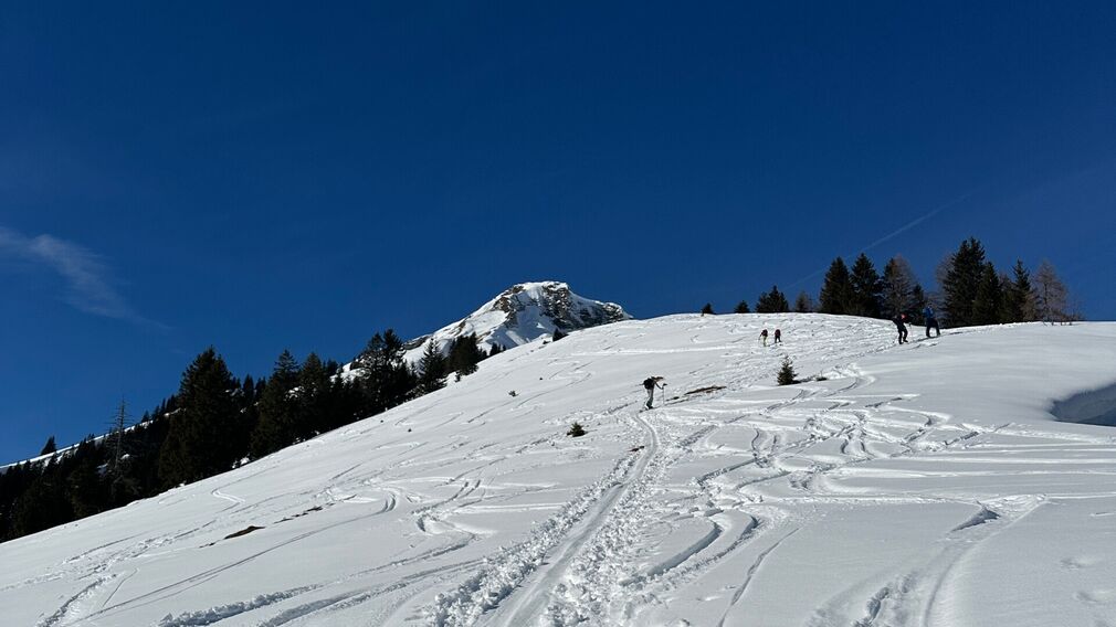
ascent to Rether Kopf with the summit in the background © Achensee Tourismus
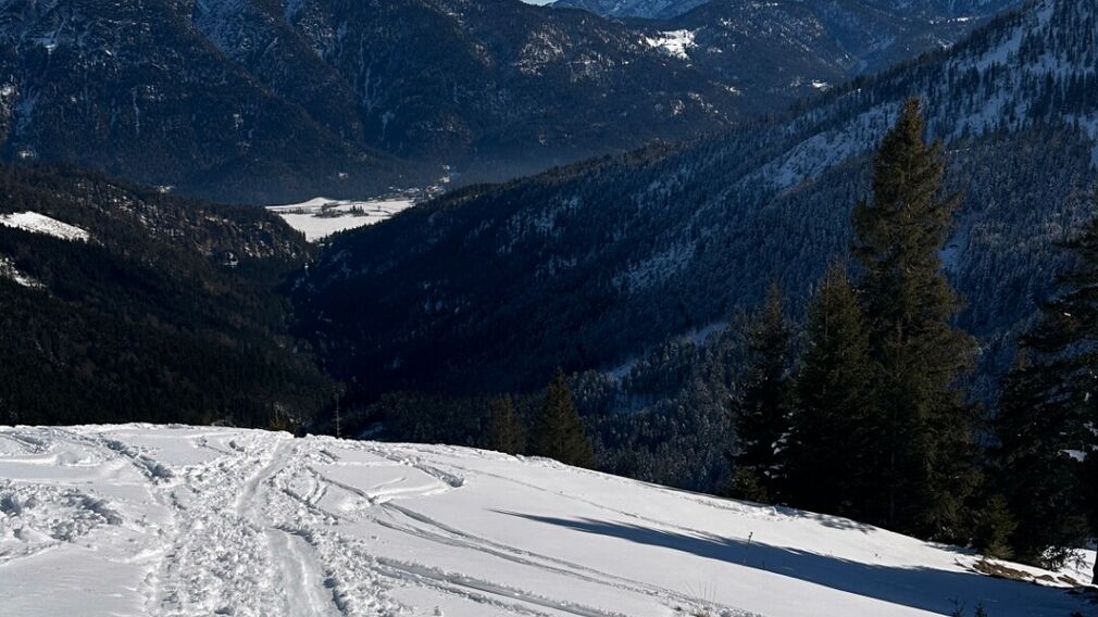
Ascent to Rether Kopf - view back towards Achenkirch © Achensee Tourismus
Ascent from the avalanche beacon checkpoint Unterautal. Follow the winter hiking path to the Hochstegalm (1,159m) and continue to the junction Gröbenalm (1,540m). From there, the route leads to the right over steep slopes to the eastern ridge of the Rether Kopf (1,700m) and to the eastern flank. Climb uphill taking steep turns past the summit rock into a small wind gap in the northern ridge and continue to the summit of the Rether Kopf.
The descent follows the ascent route.
more
less
Infrastructure on site

Difficulty
Hard
Route Length
7 km
Route Time Total
03:50 h
Elevation Gain
1.000 hm