Kotalmjoch (2.157m)
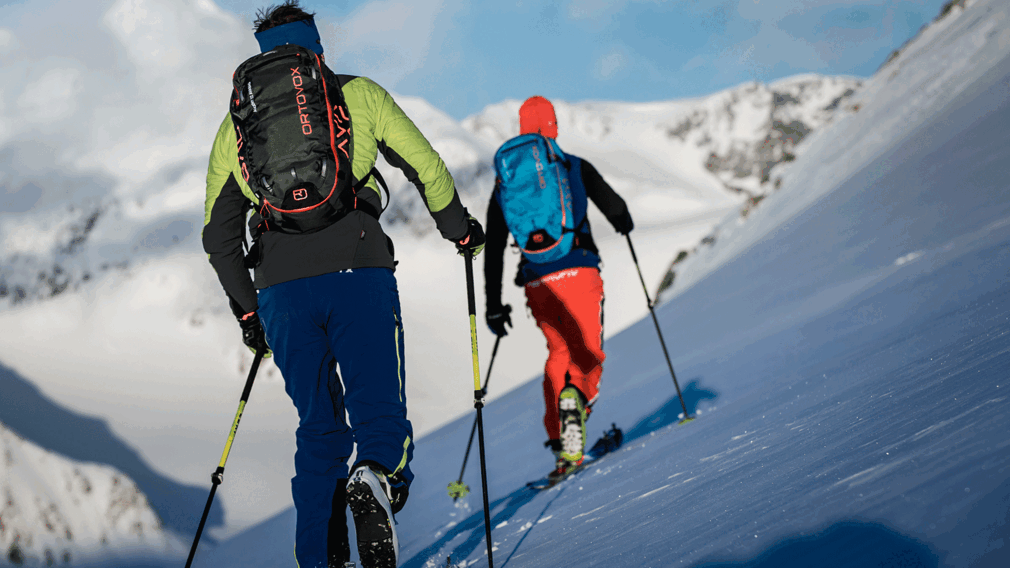
skitour image © Hansi Heckmair
The ascent starts at the car park (avalanche beacon checkpoint) and leads over the forest road to the Kotalm Niederleger (1,260m), then on the summer hiking path to the Kotalm Mittelleger 1,608m) and through a wide depression in a south-easterly direction. The route continues over a steep section, then follows flat terrain near the dilapidated Hochleger (1,800m) in a north-easterly direction and then to the right alongside the Sticklrinne and finally to the summit.
Descent: Alongside the ascent route
more
less
Infrastructure on site

Difficulty
Medium
Route Length
7 km
Route Time Total
03:30 h
Elevation Gain
1.200 hm