Gröbner Hals (1,654m)
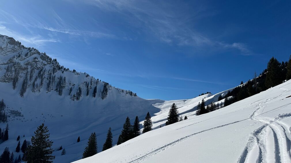
The Gröbner Hals is clearly visible in the centre of the picture. © Achensee Tourismus
The ascent starts at the avalanche beacon checkpoint Unterautal and follows the winter hiking path to the Hochstegenalm (1,159m) and continues to the Gröbenalm (1,540m) and to the saddle of the Gröbner Hals.
The descent follows the ascent route.
more
less
Infrastructure on site

Difficulty
Easy
Route Length
6.5 km
Route Time Total
02:30 h
Elevation Gain
700 hm