Gröbner Hals (1,654m)
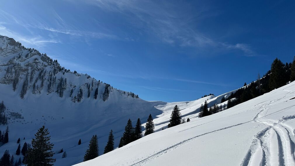
The Gröbner Hals is clearly visible in the centre of the picture. © Achensee Tourismus
Overall character: Leisurely tour through the Unterautal valley
Ascent: The tour starts at the avalanche beacon checkpoint Unterautal and follows the win-ter hiking path to the Hochstegenalm (1,159m) and continues to the Gröbenalm (1,540m) and to the saddle of the Gröbner Hals.
Descent: Alongside the ascent route
Infrastructure on site

Difficulty
Easy
Route Length
6.5 km
Route Time Total
02:30 h
Elevation Gain
700 hm