Steinberg - Village Trail - Steinberg
Important Infomation
🔖
Route Length
4.7 km
🜏
Elevation Gain
125 hm
🞍
Highest Point
1070 hm
🔲
Elevation Loss
120 hm
🏀
Route Time Total
01:15 h
🞽
Difficulty
Easy
Starting Point: Steinberg, parish church
End Point: Steinberg, parish church
Route Type: Roundtrip
Elevation Profile


Description
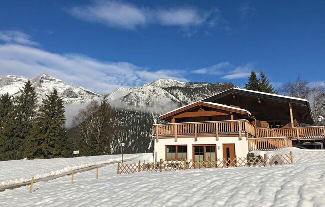
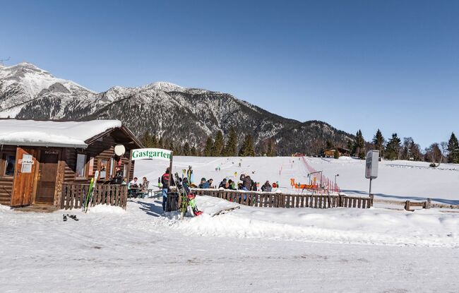
From the parish church in Steinberg, follow the local road towards the Rofan lifts II and continue straight to the festival hall. At the sign for the Steinberg cross-country skiing centre, turn right onto the prepared winter hiking trail. The route leads behind the festival hall and follows the marked winter hiking trail (please avoid walking on the cross-country ski trail) before looping back to the parish church.
This peaceful trail winds through serene forests and open meadows, offering occasional views of the Guffert and, in some sections, stunning vistas of the Rofan mountain range.