Steinberg - Kotalm - Vorderunnutz - Kotalm - Steinberg
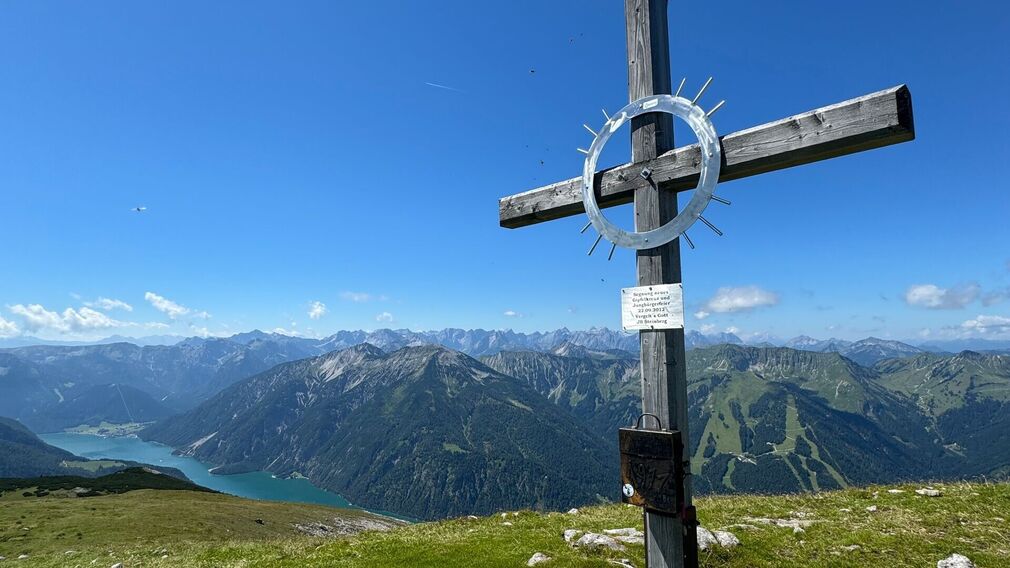
summit cross on the 2,087 metre-high Vorderunnutz - stunning views of the surrounding mountains © Achensee Tourismus
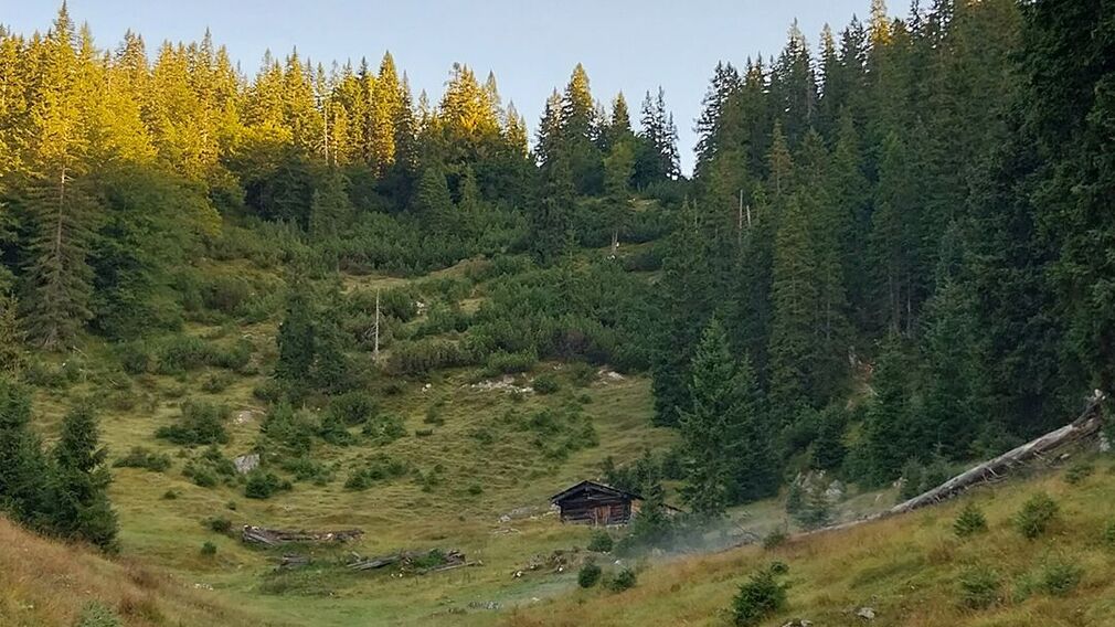
On the way to Vorderunnutz you pass the little mountain hut "Kotalm". © Achensee Tourismus - Petra Moser
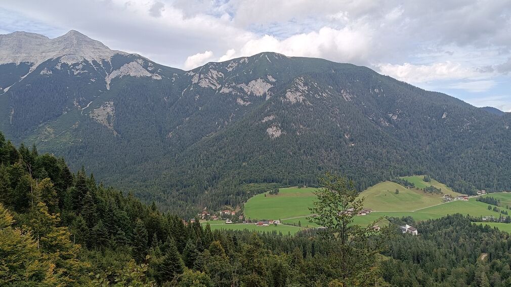
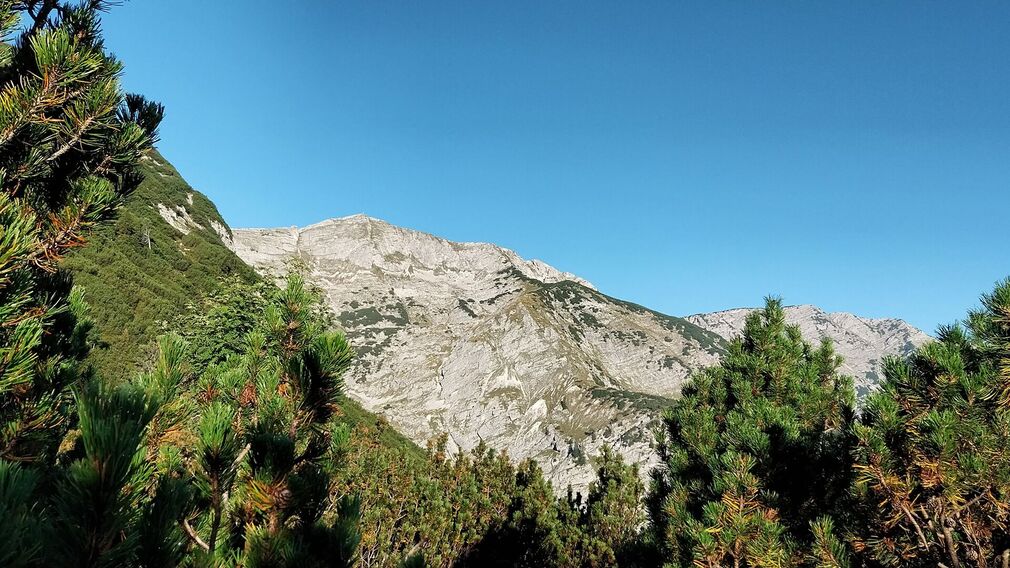
View from the trail over the Gfasssattel to the Kotalm. © Achensee Tourismus
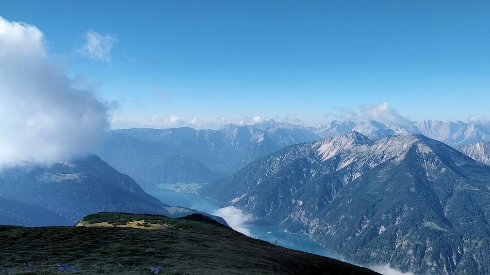
just before the summit of the Vorderunnutz - view of the Achensee © Achensee Tourismus - Petra Moser
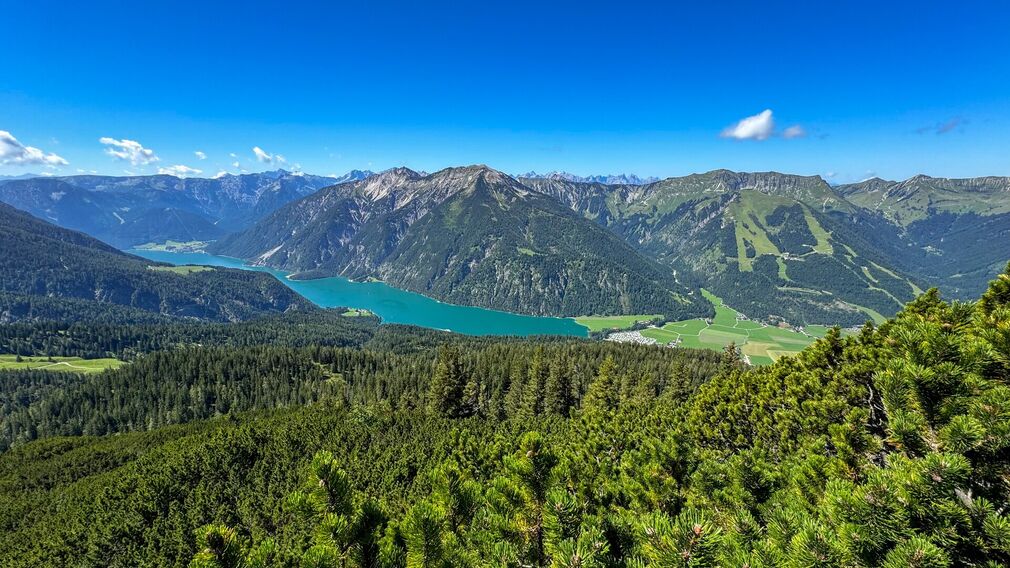
view of Lake Achensee - near the summit of the Vorderunnutz © Achensee Tourismus

a paraglider takes off from the Unnutz © Tom Klocker
view of the Unnutz - from Steinberg © Achensee Tourismus - Petra Moser
The hike to the Vorderunnutz can be significantly shortened by starting from the car park of the cross-country skiing centre in Steinberg. (Alternatively, starting from the car park Rofan lifts II makes the tour slightly longer). The ascent starts on a beautiful but somewhat steep trail through the forest. This path later joins the regular route to the Vorderunnutz, just below the Kotalm. At the summit, you will be rewarded with stunning panoramic views of the Karwendel, Lake Achensee, Rofan, Guffert, and the Bavarian Prealps. The return is via the same route.
Tip: Start your hike to Vorderunnutz from the car park at the cross-country skiing centre in Steinberg to shorten the route considerably.
more
less
Infrastructure on site

Difficulty
Hard
Route Length
12.1 km
Route Time Total
05:45 h
Elevation Gain
1.070 hm