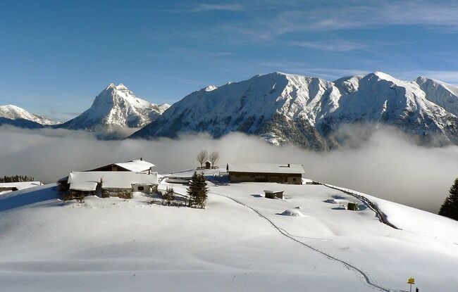
Achenkirch - Falkenmoosalm - Achenkirch
Important Infomation
🔖
Route Length
7.9 km
🜏
Elevation Gain
425 hm
🞍
Highest Point
1326 hm
🔲
Elevation Loss
425 hm
Time Uphill
02:00 h
Time Downhill
01:30 h
🏀
Route Time Total
03:30 h
🞽
Difficulty
Medium
Starting Point: Achenkirch, pay parking lot Falkenmoos
End Point: Achenkirch, pay parking lot Falkenmoos
Route Type: Roundtrip
Elevation Profile
Description
From the car park (avalanche beacon checkpoint), climb over the hill in a southerly direction to the Falkenmoosalm forest road. Follow this road and at the first right bend, head to the left and follow the summer hiking path. At the edge of the forest, climb up to the Falkenmoosalm (1,328 metres) on open meadows. Back on the ascent route or choose the more extensive route along the forest road.