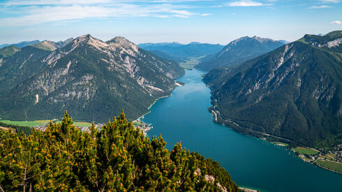
Interactive tour planning
Looking to explore the Achensee region from the comfort of your smartphone, tablet or desktop? No problem! Just visit our interactive tour planner at maps.achensee.com. This tool is also accessible from many pages on our website, with filters already preset. For activities such as hiking, cycling and cross-country skiing, you can use additional filters to tailor the routes to your preferences. Choose by difficulty level, route length, maximum elevation gain or duration. The map also provides details of local infrastructure, health services and public transport options, including bus stops. For events such as the Karwendelmarsch or the Achensee Run, the map shows route details and you can even take an immersive 3D flight.
Careful route planning
Always plan your routes carefully to adapt quickly to changes in weather and temperature, and to suit your level of fitness and mountain experience. These are just a few of the many factors to consider. You can find safety guidelines for various activities on our website achensee.com under the relevant sports sections.
Plan your hiking and biking tours in advance to get the most out of your Achensee holidays!